I've been staying here for the past 9 months, and overall my experience has been good. The staff is helpful, and the place is comfortable. However, I feel the maintenance could be improved with a little more attention to ensure everything…
SShreya Choudhary25 Jun 2026★★★★★
I had a disappointing experience with the sales and marketing team of this project. I initially received a call from a salesperson, who informed me that flats matching my budget were available and mentioned that only a few units were left,…
SShivanshu Rathore11 May 2026★★★★★
Our experience with during the birth of our baby has been nothing short of wonderful and deeply comforting. From admission, through the C-section surgery, and during all 3 days of post-operative care and recovery, every step was handled…
Everything here is as filed by the promoter with Karnataka RERA or as recorded in Bhoomi land records, and can be stale or wrong at source. Verify against certified records before you transact. Open Monarch Aqua - Block A in the interactive atlas
•• ••• ••••
•••••
₹ •.•• Cr
Charges
Not verified yet
Boundaries
Schedule in the EC vs KGIS neighbours
Not verified yet
Encumbrance certificate, Form 15
Survey sketch
Survey sketch filed with K-RERA
Not verified yet
Sketch, sanction and mutation vs KGIS map
Not verified yet
Land record
Survey plots · KGIS cadastral
Filing vs KGIS map
•• ••• ••••
•••••
₹ •.•• Cr
•• of ••
The RTC of each filed survey
Not verified yet
Ownership
Share of sales revenue
Not verified yet
Joint development agreement
Not verified yet
Unlock this full report
₹99 for this report opens Title & ownership, Disputes & cases and Documents for this project, yours to read for good.
Environmental clearance
SEIAA 142 CON 2014 · issued 27 Apr 2015
✓Clear
Airport height NOC
Filed with the registration
Pollution board (CFE)
Filed with the registration
Water supply NOC
Filed with the registration
RERA
K-RERA
RERA extensions
Applied for · Applied 6 Nov 2024
RERA completion date
8 Nov 2024
Registration certificates
PRM/KA/RERA/1251/446/PR/171016/000466
Not verified yet: Building plan, Land conversion, Validity, Conversion order.
•••••
₹ •.•• Cr
•• of ••
Unlock this full report
₹99 for this report opens Title & ownership, Disputes & cases and Documents for this project, yours to read for good.
Defect liability
5 years
Not verified yet: Forfeiture, allotment letter; Transfer fee; Maintenance included; Payment plan; Agreement for sale; Holding charge.
Not verified yet: Recent price, super built-up; Recent price, carpet; Phase 1 → Phase 2; Gross yield, per sq ft; Price per sq ft, super built-up; Form 4 certified totals; Agreements in the Form 4 sold list; Carpet vs rest, by type; Unit mix filed; Unit types; Transactions in this project; East Bengaluru, past year; Bengaluru, past year; East Bengaluru since 2022; This project vs East Bengaluru; By quarter; Registered sale price per sq ft, by year; Transactions around this project; Carpet price, projects within 4 km; Filed prices nearby; Median rent, 3 km; Rents and yields.
Zoning & hazards
Power lines, drains and flood locations around the filed pin
Basemap: Esri, OpenStreetMap contributors
Map of high-tension power lines, storm drains and government-flagged flood locations within about 2 km of an approximate filed pin. Approximate location: the filed pin, good to the neighbourhood, not the plot. The dashed ring is 1 km: of the approximate pins that could be checked against the surveyed land, nine in ten sat within it.
High-tension line, 765, 400, 220 and 66 kV
Its corridor, to scale
Buried cable
Storm drain, primary
Government-flagged flood location
Approximate location: the filed pin, good to the neighbourhood, not the plot
about 0.5 km, VINAYAKA LAYOUT NEAR BASAVANAPURA MAIN ROAD
Flooding
Site vs nearest drain
Nearest storm drain
about 0.5 km, tertiary drain
Nearest lake, tank or pond
about 0.5 km, K.R. Turam Lake / Vengaihnakere
Drains, lakes and flood locations around the filed pin
Basemap: Esri, OpenStreetMap contributors
Map of storm drains, lakes and government-flagged flood locations within about 2 km of an approximate filed pin. Approximate location: the filed pin, good to the neighbourhood, not the plot. The dashed ring is 1 km: of the approximate pins that could be checked against the surveyed land, nine in ten sat within it.
Lake or tank
Storm drain, primary
Government-flagged flood location
Approximate location: the filed pin, good to the neighbourhood, not the plot
Land · ₹2.69 Cr 2.3%Development · ₹115.00 Cr 97.7%
Form 4
Estimated cost, at registration
₹117.69 Cr
Receivable, sold flats
₹2.24 Cr
Sales
Sold vs unsold, Q3 2025-26
Sold (202) 98.5%Unsold (3) 1.5%
K-RERA inventory
Sold, Q3 2025-26
202 / 205 · 3 available
Unsold, Q3 2025-26
3
Compliance
Escrow, Q3 2025-26
Escrow and filings
Escrow bank
HDFC · Richmond Road
Designated account, collected
₹20.0 L in Q3 2025-26
Designated account, withdrawn
₹20.0 L in Q3 2025-26 (100% of that quarter's deposits)
Not verified yet: Cost left; Sold in the latest quarter; Cost left vs buyer dues; Cost incurred; Collected from buyers; Land cost revision; Sold per quarter; Unregistered agreements, over 10% paid; Average schedule slip; DOSL builder track.
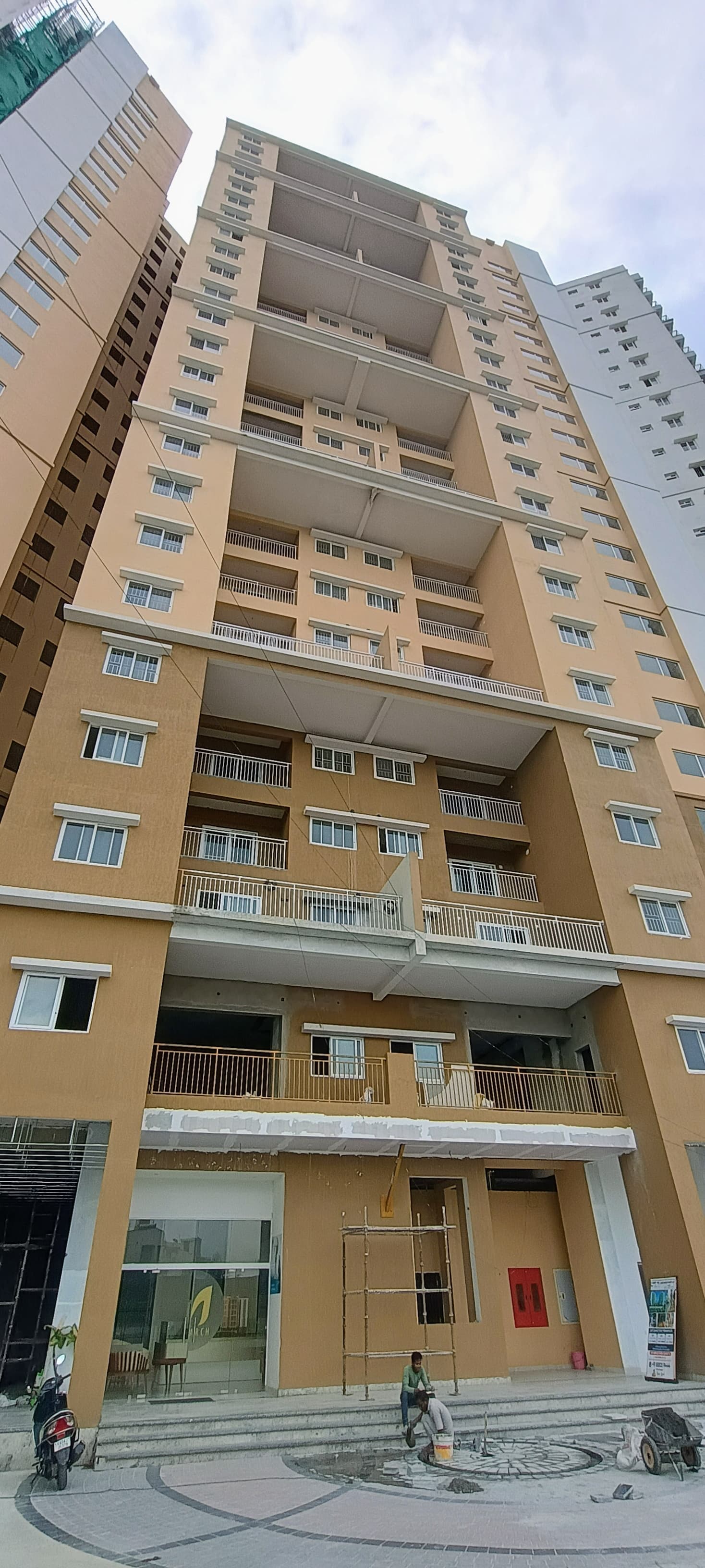
Site photos, Q3 2025-26
Not verified yet: Value; Max loan; Borrower margin; Developer's project loan; Example unit; Calculation; Records searched to; Building plan; Unregistered agreements, over 10% paid; Sale deed in favour of.
Basemap: Esri, OpenStreetMap contributors
Map of drains, lakes, metro, high-tension lines and government-flagged flood locations within 3 km of the filed pin, with rings at 3 km. Approximate location: the filed pin, good to the neighbourhood, not the plot. The dashed ring is 1 km: of the approximate pins that could be checked against the surveyed land, nine in ten sat within it.
Storm drain, primary
Lake or tank
Metro lines (dashed: planned)
Metro station
High-tension line, 765, 400, 220 and 66 kV
Its corridor, to scale
Buried cable
Government-flagged flood location
Approximate location: the filed pin, good to the neighbourhood, not the plot
Map of drains, lakes, metro, high-tension lines and government-flagged flood locations within 3 km of the filed pin, with rings at 3 km. Approximate location: the filed pin, good to the neighbourhood, not the plot. The dashed ring is 1 km: of the approximate pins that could be checked against the surveyed land, nine in ten sat within it.
Storm drain, primary
Lake or tank
Metro lines (dashed: planned)
Metro station
High-tension line, 765, 400, 220 and 66 kV
Its corridor, to scale
Buried cable
Government-flagged flood location
Approximate location: the filed pin, good to the neighbourhood, not the plot